Lake Tekapo history at a glance
Long before the village existed, Takapō was part of the seasonal routes of Ngāi Tahu into Te Manahuna, the Mackenzie Basin. European sheep farming began in 1857, a small stone church followed in 1935, and from the 1950s the lake became part of a hydro power scheme. In 1965 the University of Canterbury officially opened an observatory on Mount John, and in 2012 the area became part of an International Dark Sky Reserve.
Lake Tekapo history has no single founding date. The village grew in steps, from a sheep station and a ferry to a stop on State Highway 8. You can trace much of it on foot in the village, and some Lake Tekapo tours visit working high-country farms around the lake.
Takapō: the Māori name and Ngāi Tahu
The lake had a name and a purpose long before European settlement.
For Ngāi Tahu, Takapō was a traditional mahika kai site, a place for gathering food on seasonal journeys into Te Manahuna. The name Takapō has been passed down from Ngāi Tahu ancestors. It is explained in two ways: as "to set off at night", or as a combination of taka, a sleeping mat, and pō, night. Both readings are in use, and neither should be taken as the only correct translation.
The basin was known and travelled long before sheep farmers came. It was not an empty land waiting to be found, and the village and the lake today carry both the Māori name Takapō and the English name Tekapo.
Timeline of Lake Tekapo
Key dates from sheep station to Dark Sky Reserve.
| Year | Event |
|---|---|
| 1857 | John and Barbara Hay take up Tekapo Station |
| 1861 | An accommodation house and a ferry serve travellers |
| 1881 | Work begins on the foundations of the first bridge |
| 1935 | Foundation stone on 15 January, consecration on 3 August |
| 1951 | Tekapo A power station commissioned, 30 MW |
| 1954 | The earlier bridge is demolished |
| 1965 | Mount John Observatory officially opened |
| 1977 | Tekapo B power station commissioned, 160 MW |
| 2012 | Aoraki Mackenzie International Dark Sky Reserve |
For most visitors the church is the easiest place to start: the footbridge from the village side leads straight to the path towards it.
Our pick: indoor astronomy and the Brashear Telescope
The guided walk includes the restored 125-year-old telescope.
Hand-picked tours, booked through Viator. Prices are indicative starting prices in US dollars (as of October 2026). Tap a tour for live availability and the current price in your currency.
Tours around Lake Tekapo
High-country farm visits, stargazing near Mount John and day trips from the village, with live prices and availability.
How the lake was formed and why it is turquoise
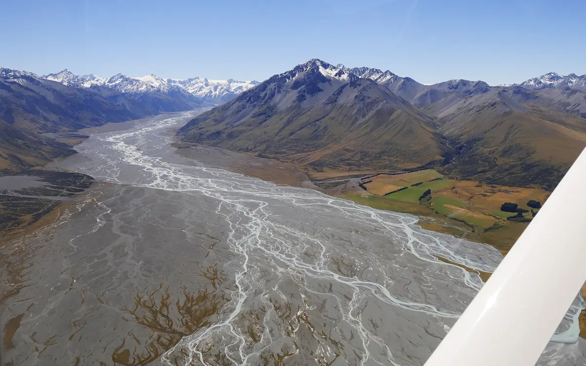
Lake Tekapo is a lake of glacial origin. It lies at about 710 m above sea level and is up to 120 m deep. The Godley River, fed by the Macaulay, and the Cass River flow into it.
The colour comes from very fine rock particles, often called glacial flour, carried down in glacier meltwater. They stay suspended in the water and give the lake its milky turquoise tone. The water is cold lake water, not a natural hot spring, even if the colour suggests it.
Sheep stations and the sheepdog statue
From Tekapo Station to the farms of today.
Tekapo Station
In 1857 John and Barbara Hay took up Tekapo Station. By 1861 an accommodation house and a ferry served travellers, and work on the first bridge foundations began in 1881. These are separate steps, not one founding year of the village.
The sheepdog statue
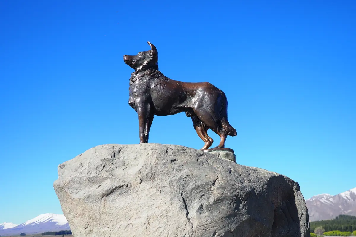
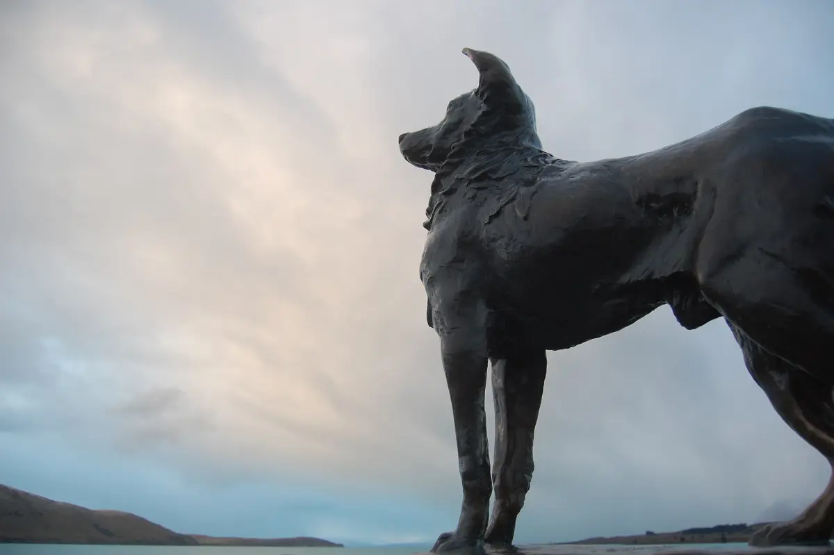
The collie statue by the lake honours the working dogs of the region's sheep farming. It stands for these dogs in general rather than for one single animal.
Farms today
Sheep farming continues in the high country around the lake. Some farms take guests on farm tours, and a working merino farm between Tekapo and Twizel offers farm stays, see where to stay.
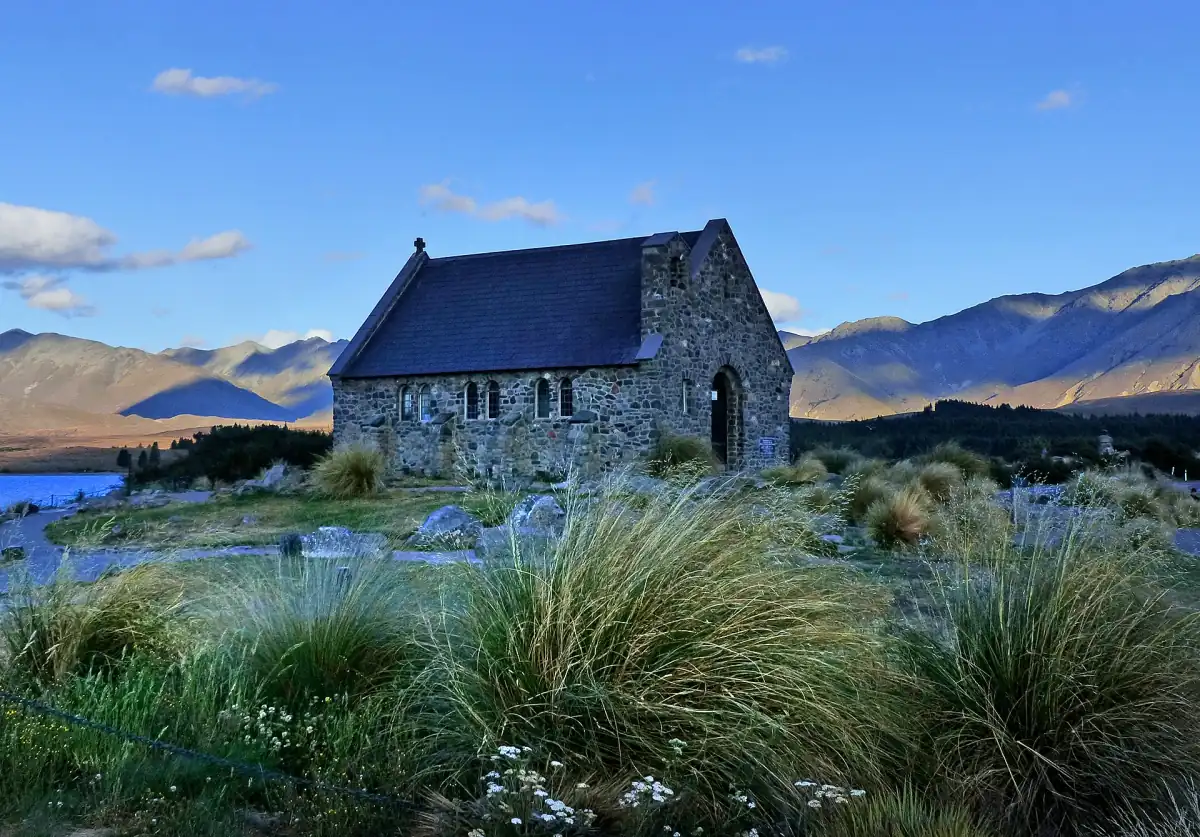
The Church of the Good Shepherd
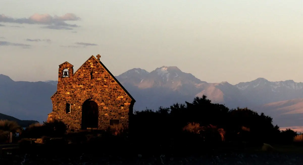
The foundation stone of the church was laid on 15 January 1935, and the Bishop of Christchurch consecrated it on 3 August 1935. R. S. D. Harman designed it from sketches by Esther Hope. It is an interdenominational church and still holds services, on Sundays at 4 p.m.
After the earlier bridge was demolished in 1954, its timber was used to make a cabinet in the vestry. Please remember the church is a place of worship: no photos are allowed inside, and drones are not allowed at the church or in the village. Visiting details are on our Church of the Good Shepherd page.
Hydro power at Lake Tekapo
Two power stations and a regulated lake.
Tekapo A and Tekapo B
Tekapo A was commissioned in 1951 with a capacity of 30 MW. Tekapo B followed in 1977 with 160 MW.
A lake with a changing level
Because the lake is used for hydro power, its level is regulated and changes with the season. There is no single fixed water level that holds every day.
See it by bike
The Alps 2 Ocean cycle trail starts an alternative route in Lake Tekapo and runs 54 km to Twizel, past Tekapo A, the canal, Tekapo B and the shore of Lake Pukaki. Allow 4 to 5 hours, at grade 2. Riding the trail is free.
The footbridge
The footbridge over the outlet, which links the village with the path to the church, is a much newer structure from the mid-2010s and separate from the road bridge.
Mount John and the Dark Sky Reserve
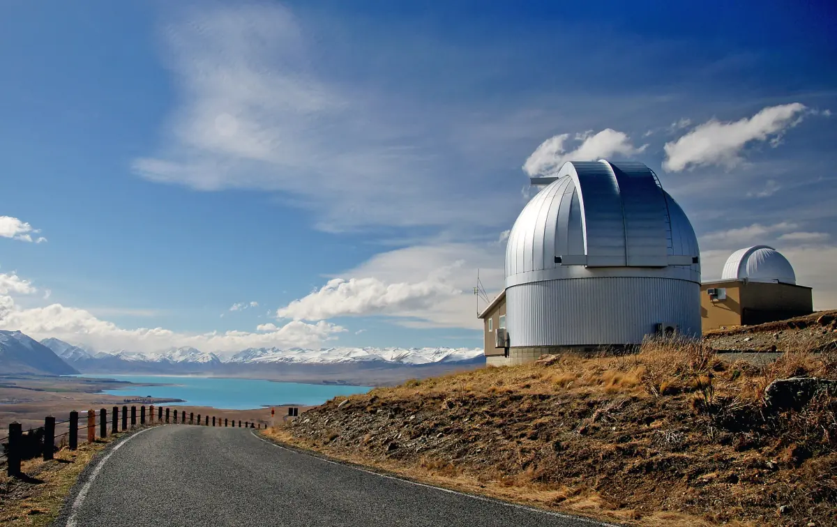
The University of Canterbury officially opened its observatory on Mount John in 1965. The site lies at 1,029 m and is still used for research and teaching, so the telescope buildings are not a public museum. Evening visits to the summit are only possible on an organised stargazing tour.
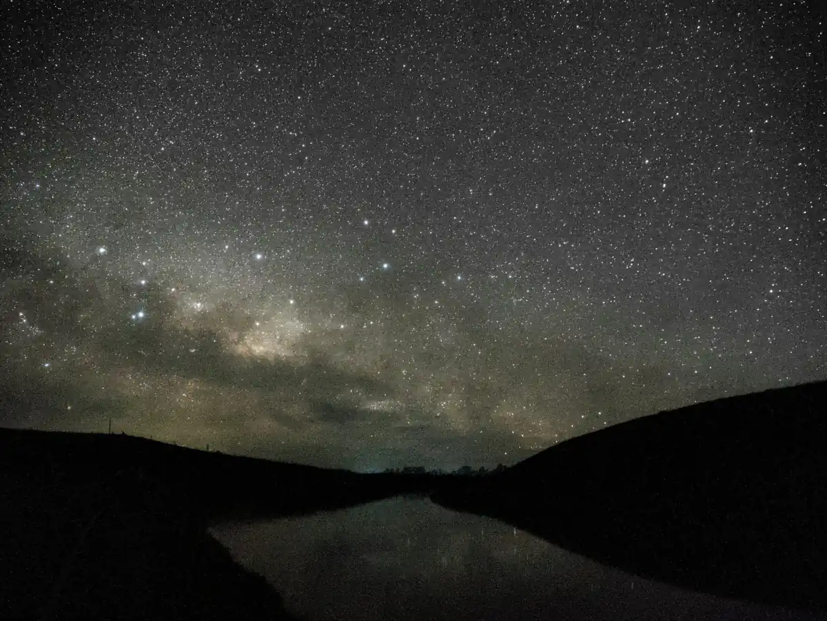
In 2012 the Aoraki Mackenzie International Dark Sky Reserve was recognised. It covers 4,367 km² of the Mackenzie Basin and the Aoraki/Mount Cook National Park. Local lighting rules aim to limit light shining upwards. Read more on our pages about Mount John and stargazing.
See the history for yourself
Places in and around the village.
Lake Tekapo history: frequently asked questions
What does Takapō mean?
The name is explained in two ways: as "to set off at night", or as taka, a sleeping mat, and pō, night. It is an ancestral Ngāi Tahu place name, and neither reading should be presented as the only correct one.
When was the Church of the Good Shepherd built?
The foundation stone was laid on 15 January 1935, and the church was consecrated on 3 August 1935.
When was the village of Tekapo founded?
There is no single founding date. Tekapo Station was taken up in 1857, an accommodation house and ferry followed in 1861, and work on the first bridge began in 1881.
Why is Lake Tekapo turquoise?
Fine rock particles from glacier meltwater stay suspended in the water and give it its colour.
Who does the sheepdog statue honour?
It honours the working dogs of the region's sheep farming in general.
Is Lake Tekapo used for hydro power?
Yes. Tekapo A dates from 1951 with 30 MW and Tekapo B from 1977 with 160 MW, and the lake level is regulated for power generation.